  |
Click 'Arrow' Above To Go To Next South Bound Stop |
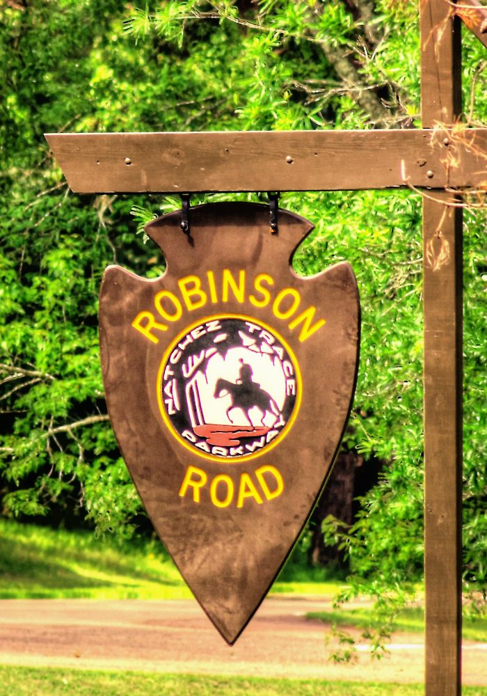
Robinson Road
Mile Post 135.5 |
Click 'Arrow' Above To Go To Next North Bound Stop |
|
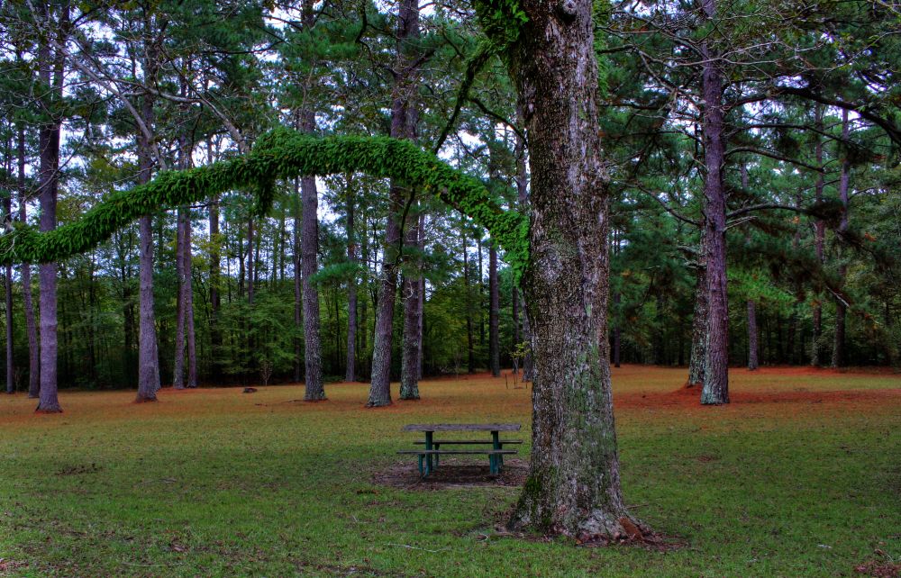
Robinson Road
Located At This Stop Picnic Area Distance to Nearest Parkway Restroom 18.8 Miles North to Holly Hill 12.9 Miles South to River Bend Distance to Nearest Gas Stations 24.5 Miles North to MS Hwy 19 Then 0.3 Miles North 0.5 Miles South to MS Hwy 16 Then 1.6 Miles West |
|
|
Robinson Road The road crossing the Parkway follows the Robinson Road whch was built in 1821; nearly all of it passing through the country of the Choctaw Indians. It joined Jackson, Mississippi, and Columbus, center of the "settlement on the Tombecbee". There, it connected with Andrew Jackson's Military Road through Florence, Alabama, to Nashville. Designation of the robinson Road as the mail route in 1822 drew much of the traffic from the northern Mississippi section of the Natchez Trace which quickly lost importance. No longer was the Trace the only direct "road through the wilderness" from the East to the old Southwest. (National Park Service) |
|
Click 'Arrow' Above To Go To Next South Bound Stop |
Robinson Road
Mile Post 135.5 |
Click 'Arrow' Above To Go To Next North Bound Stop |

|
|
Copyright © 2023-2026 Larry G Banks All Rights Reserved |