  |

Click 'Arrow' Above To Go To Next South Bound Stop |
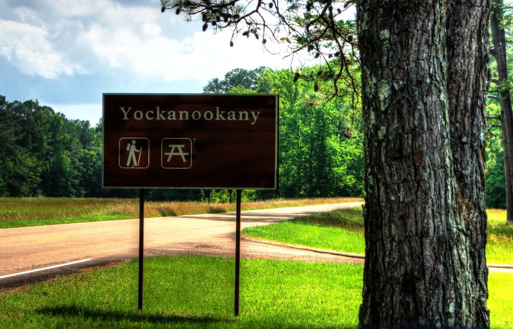
Yockanookany
Mile Post 130.9 |

Click 'Arrow' Above To Go To Next North Bound Stop |
|
Yockanookany
Located At This Stop Picnic Area Hiking Trail Distance to Nearest Parkway Restroom 23.4 Miles North to Holly Hill 8.3 Miles South to River Bend Distance to Nearest Gas Stations 4.1 Miles North to MS Hwy 16 Then 1.6 Miles West 7.2 Miles South to Ratliff Ferry Rd Then 0.5 Miles South |
|
|
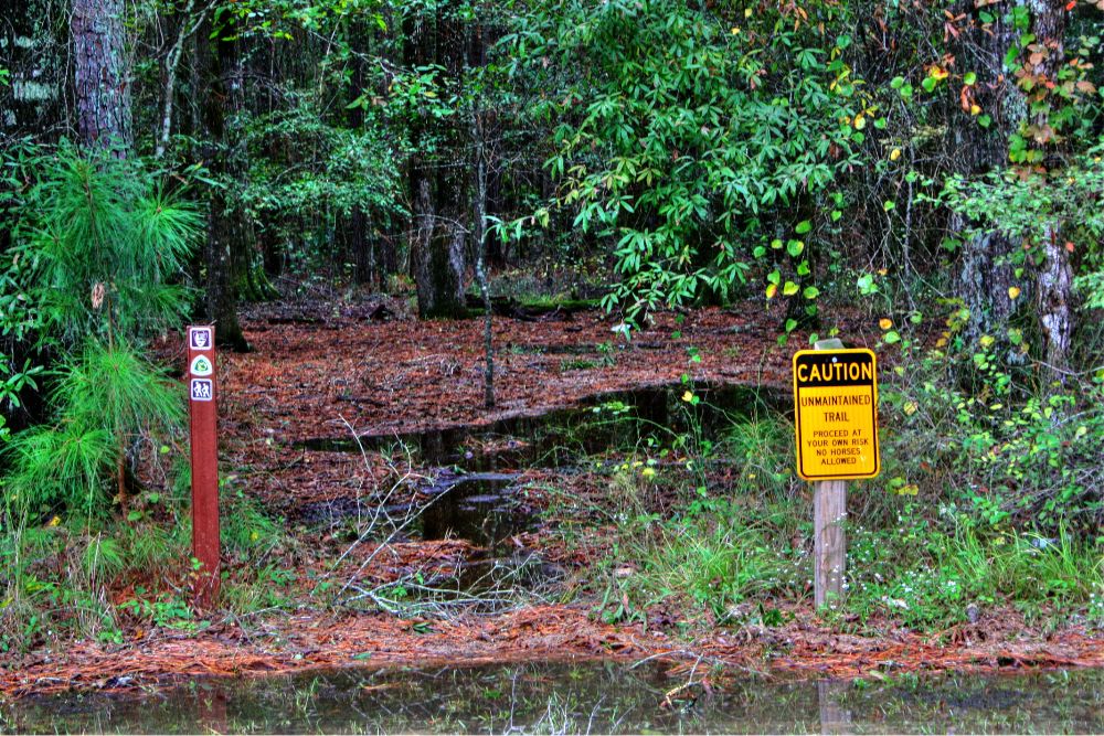
Yockanookany This trailhead is the northern terminus of the Yockanookany Section of the Natchez Trace National Scenic Trail. This trailhead is open to hikers only. From this trailhead, the southern terminus at West Florida Boundary is about 26 miles away. To access the trailhead from the parking area walk south from the parking area several hundred feet until you see the Natchez Trace National Scenic Trail sign on your right. Yockanookany section of the Natchez Trace National Scenic Trail is the longest of the five developed trail sections at 26 miles. Eight miles run alongside the Ross R. Barnett Reservoir, and the other sixteen miles go through dense forests, seasonal streams and open pastureland. There is a lot to see on this stretch of trail; many sites are accessible via short side trails (you may have to cross the parkway). The trail parallels the parkway roadbed; use caution at all times, especially at bridge crossings, where you must walk along the Parkway road. (National Park Service) |
|
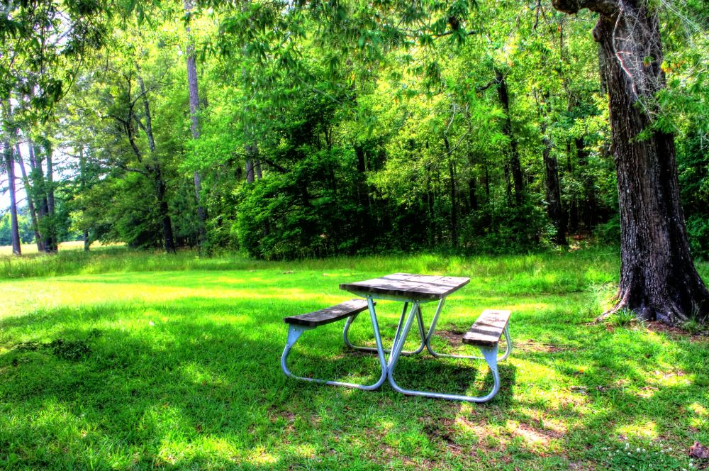
| Picnic Area |
|
Click 'Arrow' Above To Go To Next South Bound Stop |
Yockanookany
Mile Post 130.9 |
Click 'Arrow' Above To Go To Next North Bound Stop |

|
|
Copyright © 2023-2026 Larry G Banks All Rights Reserved |