  |

Click 'Arrow' Above To Go To Next South Bound Stop |
Upper Choctaw Boundary
Mile Post 128.4 |
Click 'Arrow' Above To Go To Next North Bound Stop |
|
Upper Choctaw Boundry
Located At This Stop Self Guided Trail Hiking Trail Distance to Nearest Parkway Restroom 25.9 Miles North to Holly Hill 5.8 Miles South to River Bend Distance to Nearest Gas Stations 6.6 Miles North to MS Hwy 16 Then 1.6 Miles West 4.7 Miles South to Ratliff Ferry Rd Then 0.5 Miles South |

|
|
Upper Choctaw Boundry After 1800, treaties between the Choctaw and the US government whittled away tribal rights and lands. Finally, in 1830, the Treaty of Dancing Rabbit Creek was negotiated at a council house near this spot. All the remaining Choctaw homeland--nearly 10.5 million acres--was taken. From 1831 through 1834, thousands of Choctaw trekked over 500 miles to "Indian Territory." The US War Department had promised in 1830 to "be kind and brotherly to them...to furnish them with ample corn and beef, or pork for themselves and their families." Instead, the Choctaw had inadequate clothing and supplies. Heavy rain, blizzard- like snowfall, and a shortage of wagons turned the forced removal deadly. (National Park Service) |
|
|
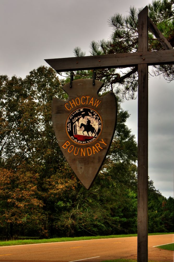
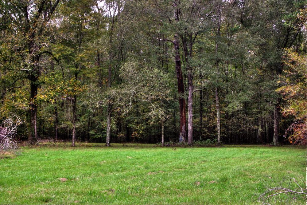
Upper Choctaw Boundry The line of trees crossing the Parkway immediatley to the left of the sign marks a section of the boundary accepted by the Choctaw Indians and the American commission under Andrew Jackson in the Treaty of Doaks Stand, October 20, 1820. At the sign, you are on the Coctaw side of the boundary. The Choctaws reluctantly gave to the United States the land west of the line from "White Oak Spring, on the old Indian Path...northwardly to a black oak standing on the Natchez Road about forty poles eastwardly from Doak's fence, marked A.J. and blazed..." The area surrendered by the Choctaw Nation amounted bo some five and a half million acres, about one third of their land. Ten years later, in 1830, the Choctaw were forced to give up all their lands. Other Indians were forced to do the same by 1834, thur clearing for white settlement all areas of the three states crossed by the Natchez Trace. (National Park Service) |
|
|
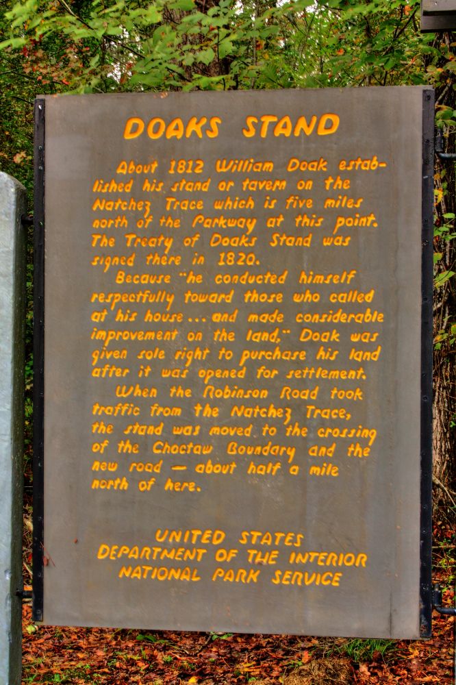
Doak's Stand Pine forests of the south played a major role in the growth of the Nation and have become a sourthern economic mainstay along with soybeans, cotton, and other agricultural products. Today, through reforestation and management as a crop, pines produce timber yearly and still maitain a growth which is in excess of the harvest. A 10 minute walk around this trail will acquaint you with the southern pines, their life history and enemies. (National Park Service) |
|
Click 'Arrow' Above To Go To Next South Bound Stop |
Upper Choctaw Boundary
Mile Post 128.4 |
Click 'Arrow' Above To Go To Next North Bound Stop |

|
|
Copyright © 2023-2026 Larry G Banks All Rights Reserved |