  |
Click 'Arrow' Above To Go To Next South Bound Stop |
Red Dog Road
Mile Post 140.0 |
Click 'Arrow' Above To Go To Next North Bound Stop |
|
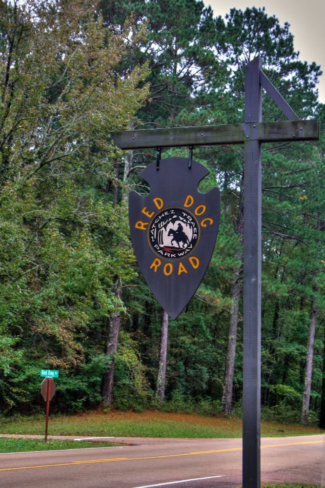
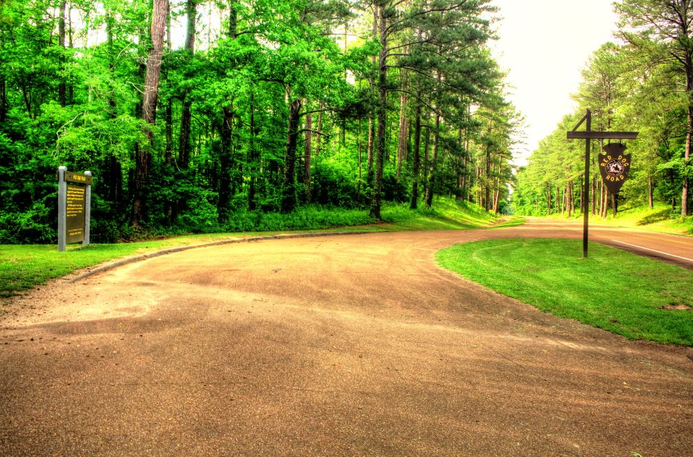
Red Dog Road
Distance to Nearest Parkway Restroom 14.3 Miles North to Holly Hill 17.4 Miles South to River Bend Distance to Nearest Gas Stations 20.0 Miles North to MS Hwy 19 Then 0.3 Miles North 5.0 Miles South to MS Hwy 16 Then 1.6 Miles West |
|
|
Red Dog Road The Road to your left, running to Canton, Mississippi, was opened in 1834 and named for Choctaw Indian Chief Ofahoma or Red Dog. Like other Choctaw, he had accepted the way of his European neighbors and had become a farmer. Chief Ofahoma signed the Treaty of Dancing Rabbit Creek on September 27, 1830, by which the tribe agreed to leave this area and move to Oklahoma. Nearby is the city of Ofahoma. (National Park Service) |
|
Click 'Arrow' Above To Go To Next South Bound Stop |
Red Dog Road
Mile Post 140.0 |
Click 'Arrow' Above To Go To Next North Bound Stop |

|
|
Copyright © 2023-2026 Larry G Banks All Rights Reserved |