  |

Click 'Arrow' Above To Go To Next South Bound Stop |
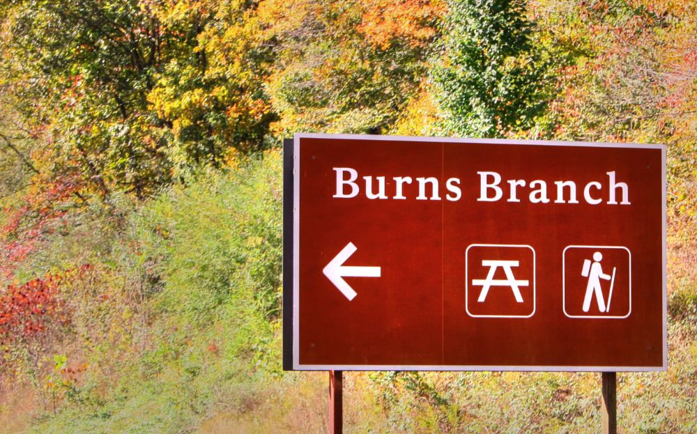
Burns Branch
Mile Post 425.4 |

Click 'Arrow' Above To Go To Next North Bound Stop |
|
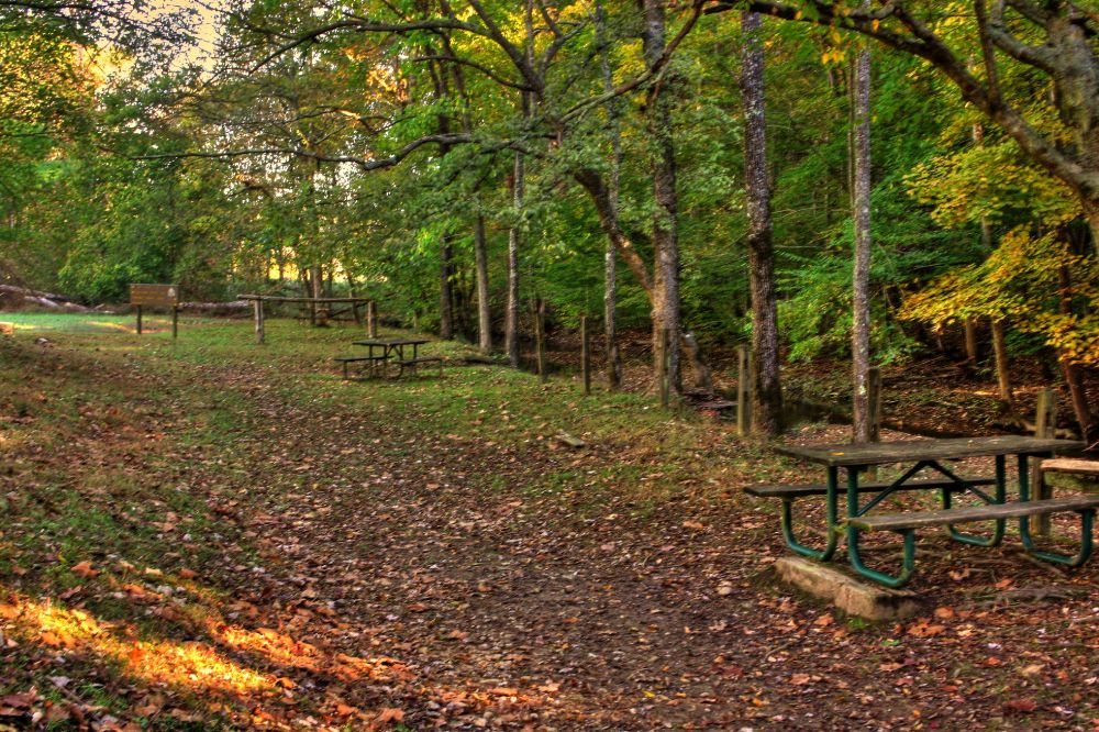
Burns Branch
Located At This Stop Picnic Area Hiking Trail Distance to Nearest Parkway Restroom 2.2 Miles North to Garrison Creek 17.7 Miles South to Gordon House Distance to Nearest Gas Stations 3.7 Miles North to Pinewood Rd 0.7 Miles South Then Old Hilsboro Rd 1.0 Miles East 17.4 Miles South to TN Hwy 80 Then 2.0 Miles West |
NPS Photo |
|
Burns Branch This is a trailhead for the Highland Rim Section of the Natchez Trace National Scenic Trail. This trailhead has parking for vehicles but not trailer parking and is not a staging area for horses. The site offers a hitching post and a picnic table to take a break if you would like. (National Park Service) |
|
|
Click 'Arrow' Above To Go To Next South Bound Stop |
Burns Branch
Mile Post 425.4 |
Click 'Arrow' Above To Go To Next North Bound Stop |

|
|
Copyright © 2023-2026 Larry G Banks All Rights Reserved |