  |

Click 'Arrow' Above To Go To Next South Bound Stop |
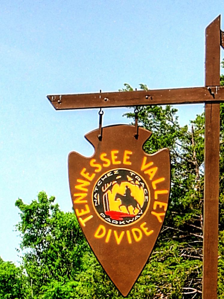
Tennessee Valley Divide
Mile Post 423.9 |

Click 'Arrow' Above To Go To Next North Bound Stop |
|
Tennessee Valley Divide
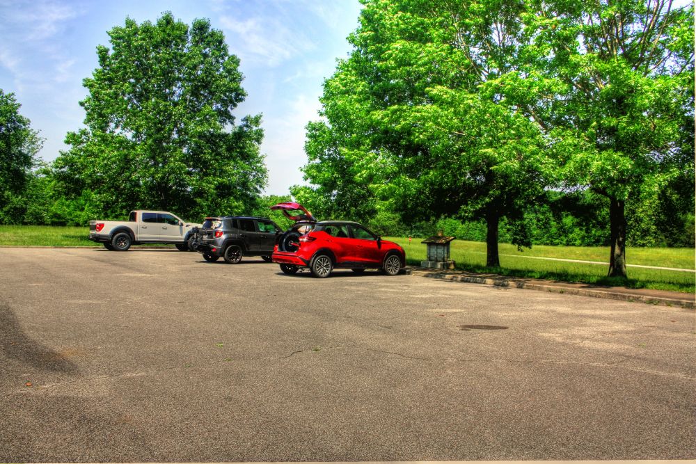
Located At This Stop Hiking Trail Distance to Nearest Parkway Restroom 3.7 Miles North to Garrison Creek 16.2 Miles South to Gordon House Distance to Nearest Gas Stations 5.2 Miles North to Pinewood Rd 0.7 Miles South Then Old Hilsboro Rd 1.0 Miles East 15.9 Miles South to TN Hwy 80 Then 2.0 Miles West |
|
|
Tennessee Valley Divide The high ground at this site are part of a long ridge that divides central Tennessee. Streams south of the divide flow to the Duck and Tennessee Rivers, while streams to the north empty in the Cumberland River. Travelers in the early days of the Natchez Trace were more conscious of the divide. Moving on foot or on horseback, they noticed changes in elevation and stream direction. Going north toward Nashville, the Tennessee Valley Divide marked the edge of the frontier. This was the 1796 boundary between Tennessee and the Chickasaw Nation. Highland Rim Section Trailhead Information: This trailhead parking is open to hikers only. As the scenic trail passes the parking lot, riders and hikers are rewarded with views of the Parkway, including vibrant blooms in the spring, and spectacular colors in the fall. (National Park Service) |
|
Click 'Arrow' Above To Go To Next South Bound Stop |
Tennessee Valley Divide
Mile Post 423.9 |
Click 'Arrow' Above To Go To Next North Bound Stop |

|
|
Copyright © 2023-2026 Larry G Banks All Rights Reserved |