  |

Click 'Arrow' Above To Go To Next South Bound Stop |
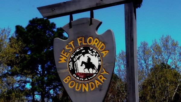
West Florida Boundry
Mile Post 107.9 |

Click 'Arrow' Above To Go To Next North Bound Stop |
|
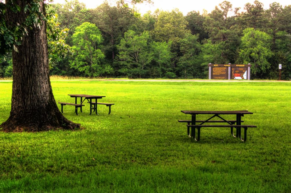
West Florida Boundry
Located At This Stop Picnic Area Hiking Trail Distance to Nearest Parkway Restroom 14.7 Miles North to River Bend 5.5 Miles South to Parkway Information Cabin Distance to Nearest Gas Stations 6.1 Miles North to MS Hwy 43 Then 0.9 Miles North 4.4 Miles South to Old Canton Rd Then 0.9 Miles South |
|
|
West Florida Boundry The Treaty of Paris concluded the struggle for land in the New World between France and Britain, known as the French and Indian War. As a term of the treaty, Great Britain received most of the formally French territory between the Appalachian Mountains and the Mississippi River. France also ceded West Louisiana to its ally Spain in compensation for western Florida, which Spain yielded to Great Britain. Britain, in turn, created West Florida. In 1764, this spot was the northern boundary of West Florida, marked by a line from the Yazoo and Mississippi Rivers confluence east to the Chattahoochee River. (National Park Service) |
|
Click 'Arrow' Above To Go To Next South Bound Stop |
West Florida Boundry
Mile Post 107.9 |
Click 'Arrow' Above To Go To Next North Bound Stop |

|
|
Copyright © 2023-2026 Larry G Banks All Rights Reserved |