  |

Click 'Arrow' Above To Go To Next South Bound Stop |
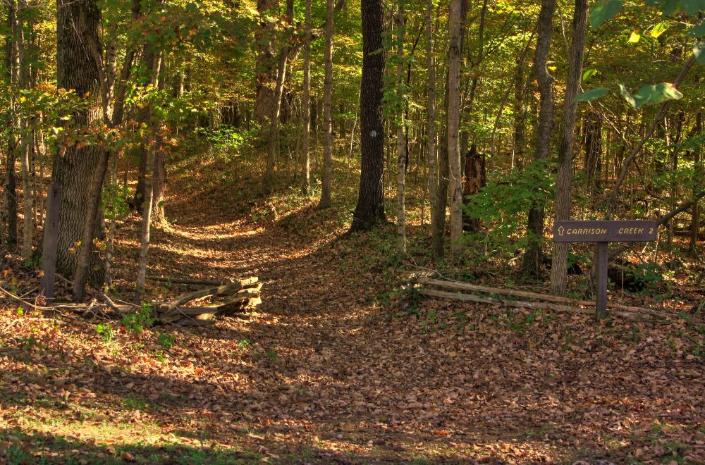
Garrison Creek
Mile Post 427.6 |

Click 'Arrow' Above To Go To Next North Bound Stop |
|
Garrison Creek
Located At This Stop Picnic Area Hiking Trail Horse Staging Area Handicap Restroom at this Location Distance to Nearest Gas Stations 1.5 Miles North to Pinewood Rd 0.7 Miles South Then Old Hilsboro Rd 1.0 Miles East 19.3 Miles South to TN Hwy 80 Then 2.0 Miles West |
|
|
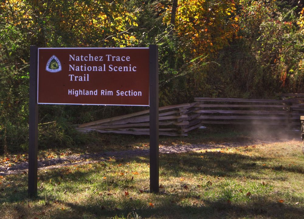
Garrison Creek Named for a nearby 1801-02 U.S. Army post, Garrison Creek is a trailhead for horseback riders and hikers on the Highland Rim Trail of the Natchez Trace National Scenic Trail. Plenty of horse trailer parking is available. This part of the Natchez Trace National Scenic Trail is 20 miles in length. From the Garrison Creek trailhead you can hike or ride your horse south to Tennessee Highway 50, milepost 408, near the Gordon House. (National Park Service) |
|
Click 'Arrow' Above To Go To Next South Bound Stop |
Garrison Creek
Mile Post 427.6 |
Click 'Arrow' Above To Go To Next North Bound Stop |

|
|
Copyright © 2023-2026 Larry G Banks All Rights Reserved |