  |
Click 'Arrow' Above To Go To Next South Bound Stop |
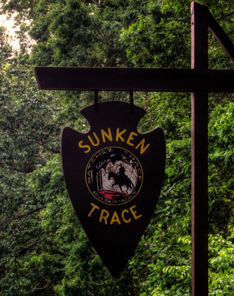
Sunken Trace
Mile Post 350.5 |
Click 'Arrow' Above To Go To Next North Bound Stop |
|
Sunken Trace
Distance to Nearest Parkway Restroom 14.0 Miles North to Glenrock Branch 23.2 Miles South to Colbert Ferry Distance to Nearest Gas Stations 0.1 Miles North to TN Hwy 13 Then 0.1 Miles South 14.0 Miles South to AL Hwy 20 Then 2.9 Miles East |
|
|
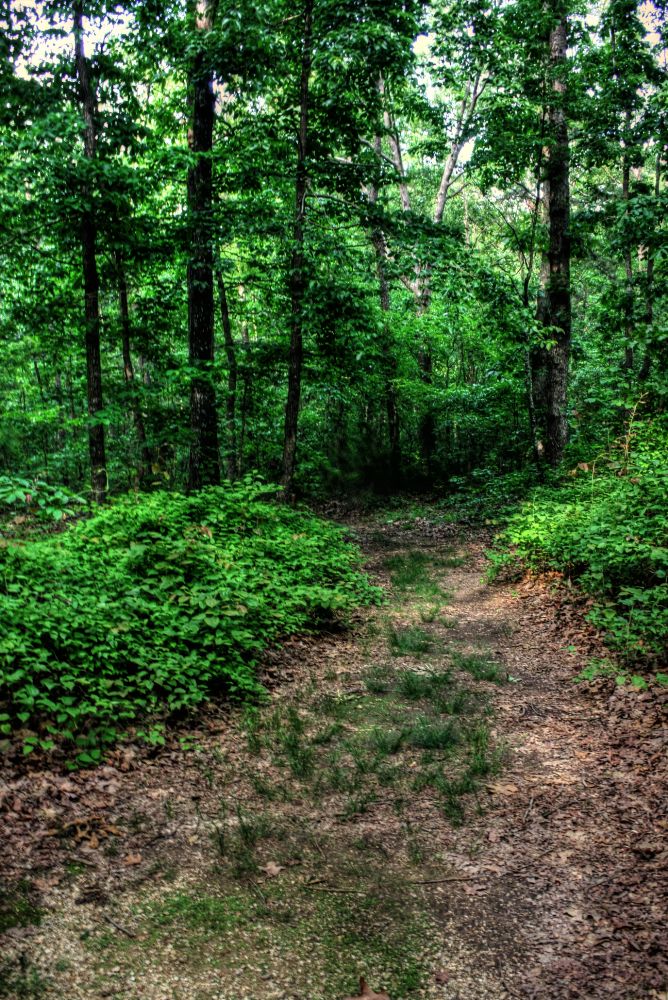
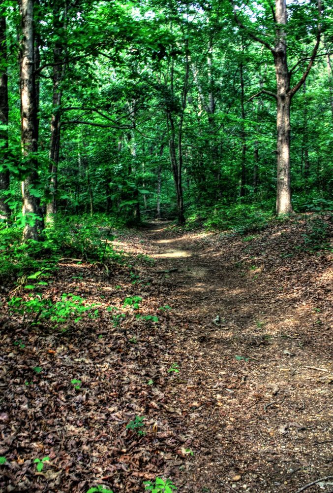
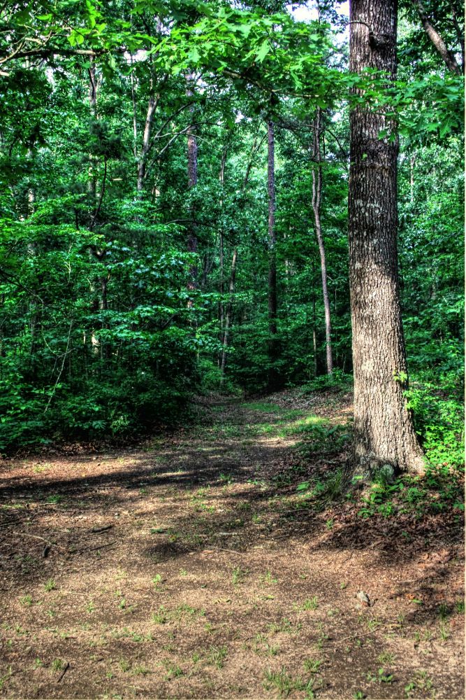
Sunken Trace This early early interstate road building venture produced a snake infested, mosquito beset, American Indian traveled forest path. Lamented by the pious, cussed by the impious, it tried everyone's strength and patience. When the trail became so water logged that wagons could not be pulled through, travelers cut new paths through the nearby woods as a detour. At this location you can see three different detours made to avoid mud into which travelers sank, making progress slow, dangerous or even impossible. (National Park Service) |
|
| Detour Two |
|
| Detour Three |
|
Click 'Arrow' Above To Go To Next South Bound Stop |
Sunken Trace
Mile Post 350.5 |
Click 'Arrow' Above To Go To Next North Bound Stop |

|
|
Copyright © 2023-2026 Larry G Banks All Rights Reserved |