  |
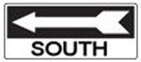
Click 'Arrow' Above To Go To Next South Bound Stop |
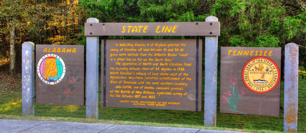
Tennessee-Alabama State Line
Mile Post 341.8 |
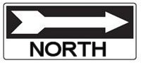
Click 'Arrow' Above To Go To Next North Bound Stop |
|
Tennessee-Alabama State Line
Distance to Nearest Parkway Restroom 22.7 Miles North to Glenrock Branch 14.5 Miles South to Colbert Ferry Distance to Nearest Gas Stations 8.8 Miles North to TN Hwy 13 Then 0.1 Miles South 5.3 Miles South to AL Hwy 20 Then 2.9 Miles East |
|
|
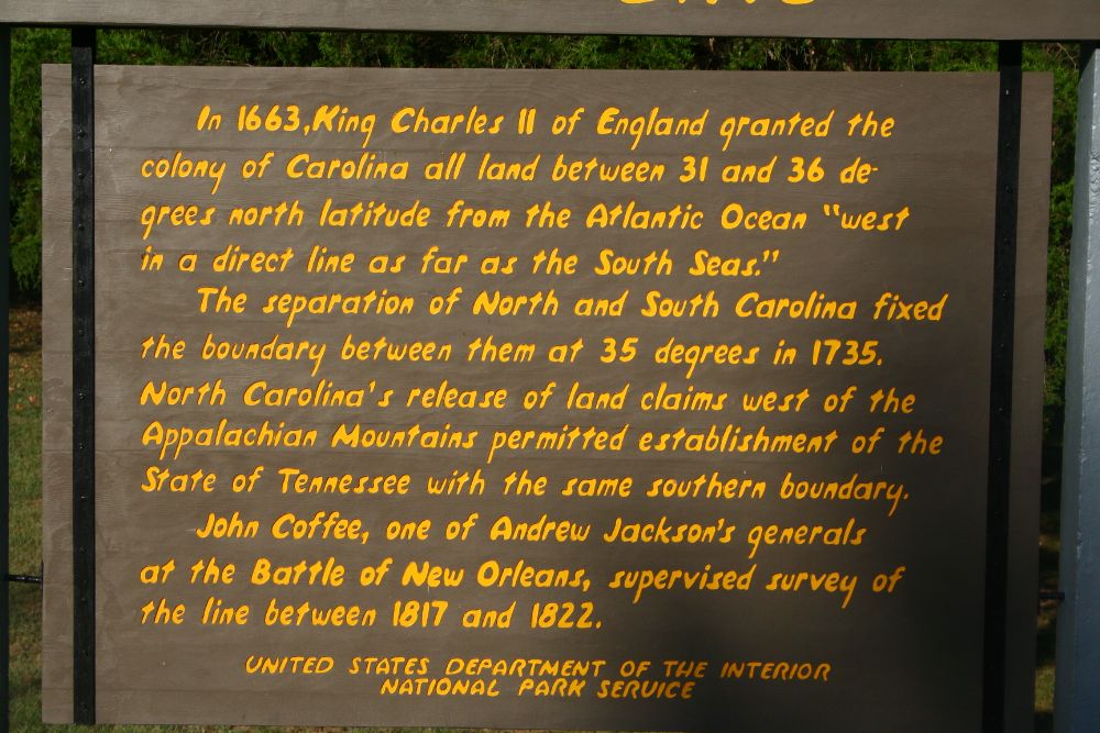
Tennessee-Alabama State Line In 1663, King Charles II of England granted the colony of Carolina all land between 31 and 36 degrees north latitude from the Alantic Ocean "west in a direct line as far as the South Seas". The separation of North and South Carolina fixed the boundary between then them as 35 degrees in 1735. North Carolina's release of land claims west of the Appalachian Mountains permitted establishment of the State of Tennessee with the same southern boundry. John Coffee, one of Andrew Jackson's generals at the Battle of New Orleans, supervised survey of the line between 1817 and 1822. (National Park Service) |
|
Click 'Arrow' Above To Go To Next South Bound Stop |
Tennessee-Alabama State Line
Mile Post 341.8 |
Click 'Arrow' Above To Go To Next North Bound Stop |

|
|
Copyright © 2023-2026 Larry G Banks All Rights Reserved |