  |

Click 'Arrow' Above To Go To Next South Bound Stop |
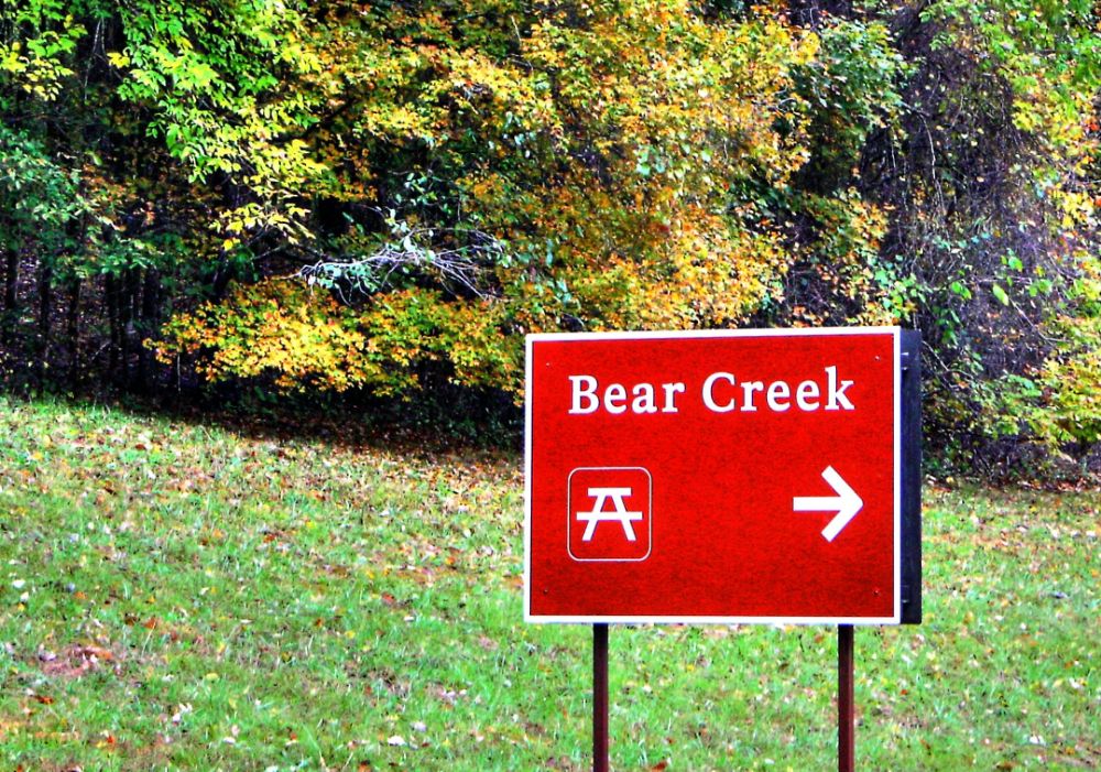
Bear Creek
Mile Post 313.0 |

Click 'Arrow' Above To Go To Next North Bound Stop |
|
Bear Creek
Located At This Stop Picnic Area Distance to Nearest Parkway Restroom 14.3 Miles North to Colbert Ferry 26.3 Miles South to Pharr Mounds Distance to Nearest Gas Stations 7.3 Miles North to US 72 Then 0.5 Miles East 9.5 Miles South to MS Hwy 25 Then 2.6 Miles North |
NPS Photo |
|
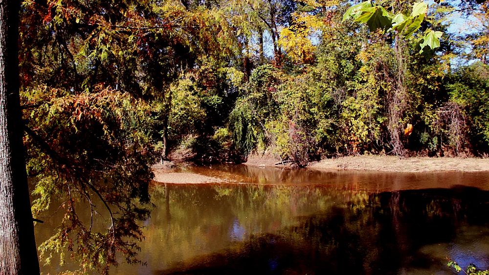
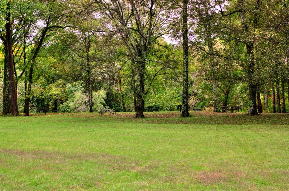
Bear Creek Bear Creek Picnic Area is a great place to pull off the main road to sit in the shade and listen to the gentle rhythms of the flowing water. The site is shaded and on the creek. There are seven well spaced tables, four with grills. Bear Creek is within what is the homeland of the Chickasaw people. The Cherokee lived near-by to the east. Bear Creek is a large creek that flows from Tishomingo County, Mississippi, northward to the Tennessee River and has likely been used as a travel route for centuries. The creek teams with mussels, fish and other aquatic species, although the fauna composition has lost diversity in the lower 17 miles of the creek impounded by Pickwick Dam. After heavy rains, the site is frequently closed due to flooding. (National Park Service) |
|
|
Bear Creek Picinic Area |
|
Click 'Arrow' Above To Go To Next South Bound Stop |
Bear Creek
Mile Post 313.0 |
Click 'Arrow' Above To Go To Next North Bound Stop |

|
|
Copyright © 2023-2026 Larry G Banks All Rights Reserved |