  |
Click 'Arrow' Above To Go To Next South Bound Stop |
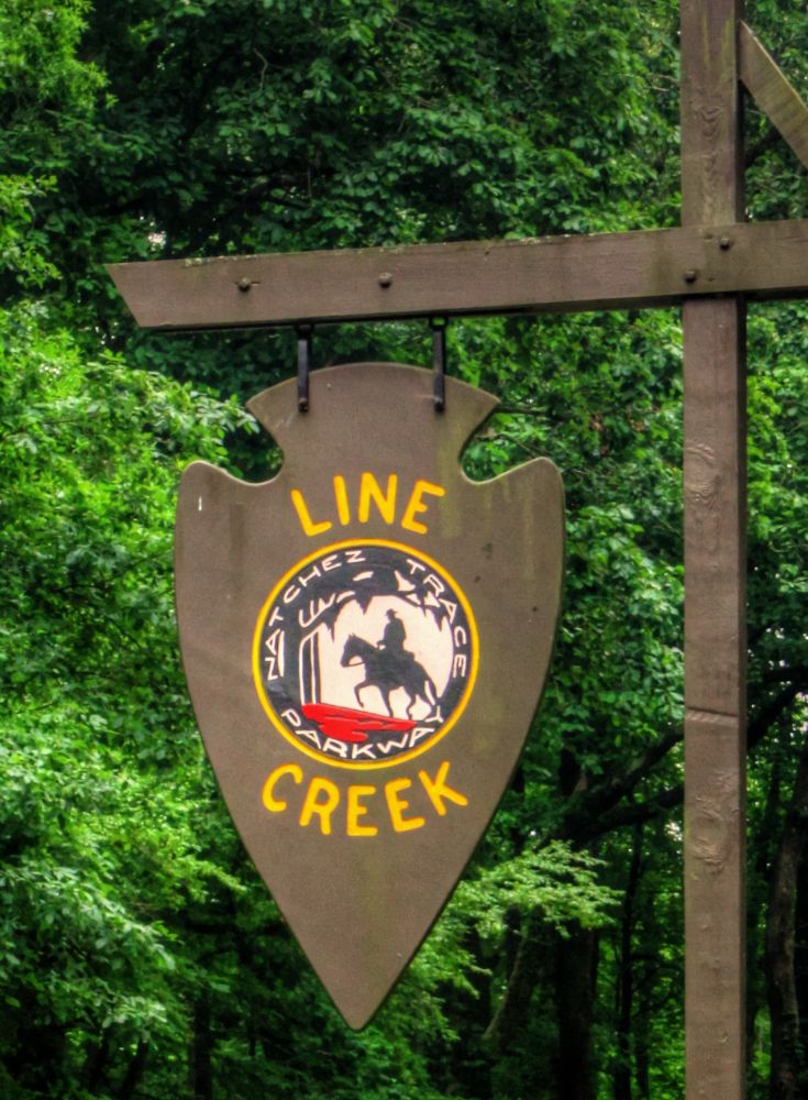
Line Creek
Mile Post 213.3 |
Click 'Arrow' Above To Go To Next North Bound Stop |
|
Line Creek
Located At This Stop Picnic Area Distance to Nearest Parkway Restroom 19.9 Miles North to Witch Dance 20.2 Miles South to Jeff Busby Distance to Nearest Gas Stations 41.8 Miles North to Palmeto Rd Then 0.9 Miles East 9.0 Miles South to MS Hwy 82 Then 0.1 Miles East |
|
|
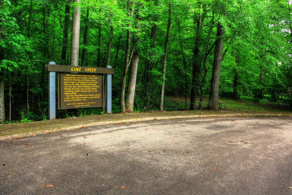
Line Creek Unlike the nations of today, American Indian tribes seldom recognized clear, exact boundaries to their lands. However, the Chickasaw and Choctaw Indians came to accept as a dividing line the stream that flowed through this valley. It remained the boundary until both tribes were forced to move to Oklahoma in the 1830's. Although the stream's course has been changed somewhat by a modern drainage canal, it is still called Line Creek. Near here, Noah Wall and his Choctaw wife had a stand where food and shelter were provided for travelers on the Natchez Trace. (National Park Service) |
|
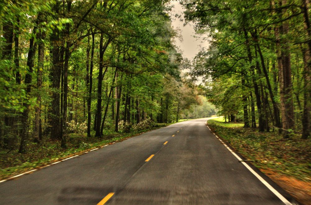
| Scenery near Line Creek |
|
Click 'Arrow' Above To Go To Next South Bound Stop |
Line Creek
Mile Post 213.3 |
Click 'Arrow' Above To Go To Next North Bound Stop |

|
|
Copyright © 2023-2026 Larry G Banks All Rights Reserved |