  |
Click 'Arrow' Above To Go To Next South Bound Stop |
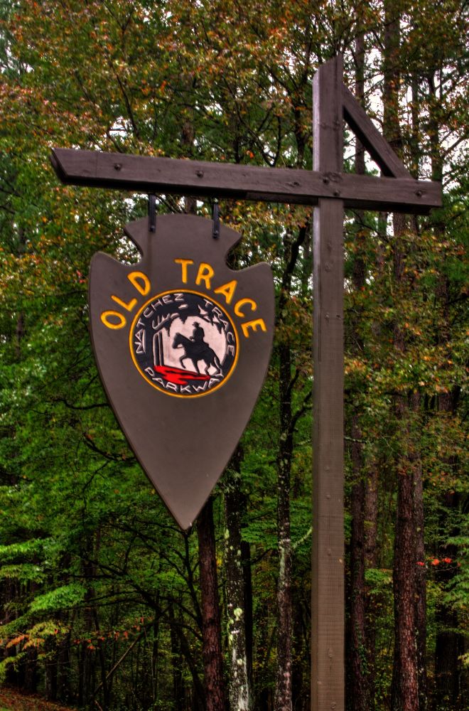
Old Trace
Mile Post 198.6 |
Click 'Arrow' Above To Go To Next North Bound Stop |
|
Old Trace
Distance to Nearest Parkway Restroom 34.6 Miles North to Witch Dance 5.5 Miles South to Jeff Busby Distance to Nearest Gas Stations 5.7 Miles North to MS Hwy 82 Then 0.1 Miles East 3.3 Miles South to MS Hwy 9 Then 0.1 Miles South |
|
|
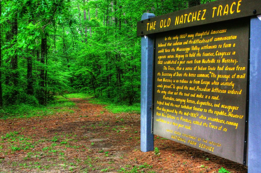
Old Trace In the early 1800s many Americans believed that isolation and the difficulties of communication would force the Mississippi Valley settlements to form a seperate nation. Hoping to hold the frontier, Congress in 1800 established a post route from Nashville, Tennessee to Natchez, Mississippi. The Trace, then a series of American Indian trails, had drawn from the Secretary of State the bitter comment "The passage of mail from Natchez is a tedious as from Europe when westerly winds prevail." To speed the mail, President Jefferson ordered the Army to clear out the trail and make it a road starting in 1803. Post Riders, carrying letters, dispatches, and newspapers, helped bind the vast, turbulent frontier to the Republic. However, their day passed by the mid 1830s when steamboats, running from New Orleans, Louisiana to Pittsburgh, Pennsylvania, robbed the Trace of its usefulness as a main post road. (National Park Service) |
|
Click 'Arrow' Above To Go To Next South Bound Stop |
Old Trace
Mile Post 198.6 |
Click 'Arrow' Above To Go To Next North Bound Stop |

|
|
Copyright © 2023-2026 Larry G Banks All Rights Reserved |