  |
Click 'Arrow' Above To Go To Next South Bound Stop |
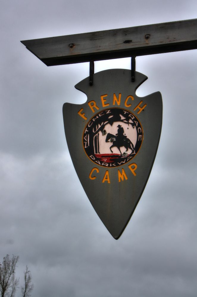
French Camp
Mile Post 180.7 |
Click 'Arrow' Above To Go To Next North Bound Stop |
|
French Camp
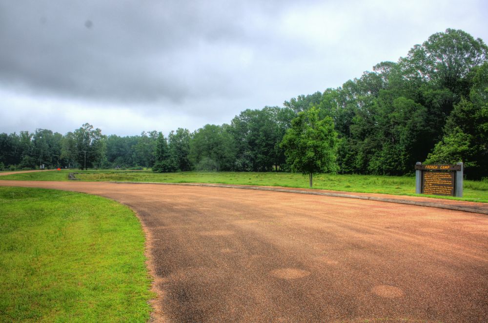
Distance to Nearest Parkway Restroom 12.4 Miles North to Jeff Busby 20.7 Miles South to Kosciusko Information Center Distance to Nearest Gas Stations 0.1 Miles North to MS Hwy 407 Then 0.2 Miles North 20.7 Miles South to MS Hwy 19 Then 0.3 Miles North |
|
|
French Camp Louis Leflore first traded with Choctaw Indians at a bluff now part of Jackson Mississippi. About 1812, he established his stand 900 feet to the northeast on the Natchez Trace. Because of the storekeepers nationality, the area was called French Camp, a name retained by the present village. Leflore married a Choctaw woman. The famous sone, who changed his name to Greenwood Leflore became a Choctaw chief and a Mississippi State Senator. For him are named the city of Greenwood and a county of Leflore. (National Park Service) |
|
|
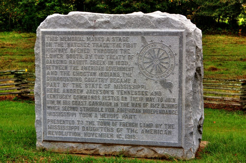
DAR Marker Many times, in the field behind the marker and the split rail fence, are beautiful horses. |
|
Click 'Arrow' Above To Go To Next South Bound Stop |
French Camp
Mile Post 180.7 |
Click 'Arrow' Above To Go To Next North Bound Stop |

|
|
Copyright © 2023-2026 Larry G Banks All Rights Reserved |