  |

Click 'Arrow' Above To Go To Next South Bound Stop |
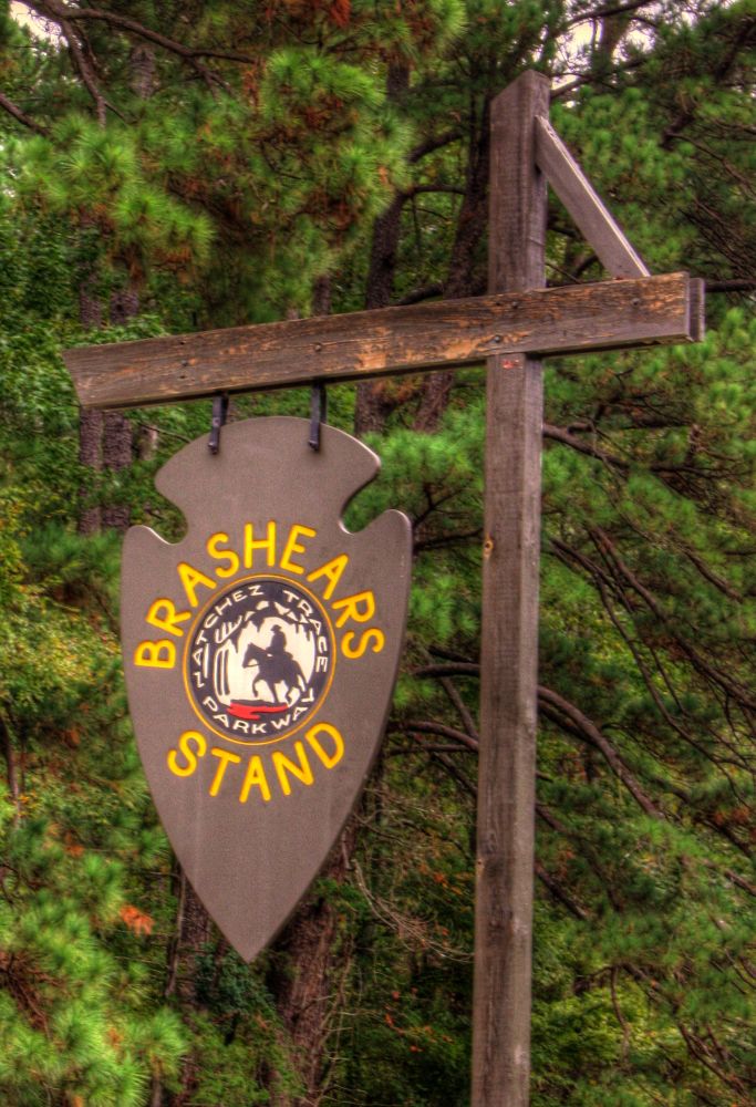
Brashears Stand / Old Trace Site
Mile Post 104.5 |

Click 'Arrow' Above To Go To Next North Bound Stop |
|
Brashears Stand / Old Trace Site
Located At This Stop Picnic Area Distance to Nearest Parkway Restroom 18.1 Miles North to River Bend 2.1 Miles South to Parkway Information Cabin Distance to Nearest Gas Stations 9.5 Miles North to MS Hwy 43 Then 0.9 Miles North 1.0 Miles South to Old Canton Rd Then 0.9 Miles South |

|
|
Brashears Stand / Old Trace Site Brashears Stand is named after Turner Brashears, who moved to the area in the late 1700s. He became a trader with the Choctaw and learned their language. In 1806 Turner Brashears placed an advertisement in the Natchez newspaper about his stand labeling it A house of Entertainment on the road leading from Natchez to Nashville. Travelers on the Natchez Trace generally seemed to be pleased with their treatment and accommodations at Brashears Stand. In 1807 Reverend Jacob Young, a Methodist preacher, wrote Near the line that divided the Choctaw Nation from the Mississippi Territory stood a fine public house kept by a man by the name of Brashears...He treated us very well but knew how to make a high bill. In addition to earning money from his stand operation, Brashears prospered by selling land and enslaved people. (National Park Service) |
|
|
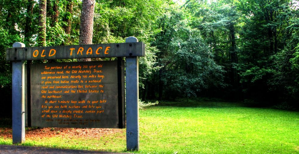
Old Trace Site Two portions of a nearly 200 year old wilderness road, the Old Natchez Trace, are preserved here. Nearly 500 miles long, it grew from Indian Trails to a national road and communications link between the Old Southwest and the United States to the northeast. A short 5-minute walk to your left lets you see both section and lets you stroll down a deeply eroded, sunken part of the Old Natchez Trace. (National Park Service) |
|
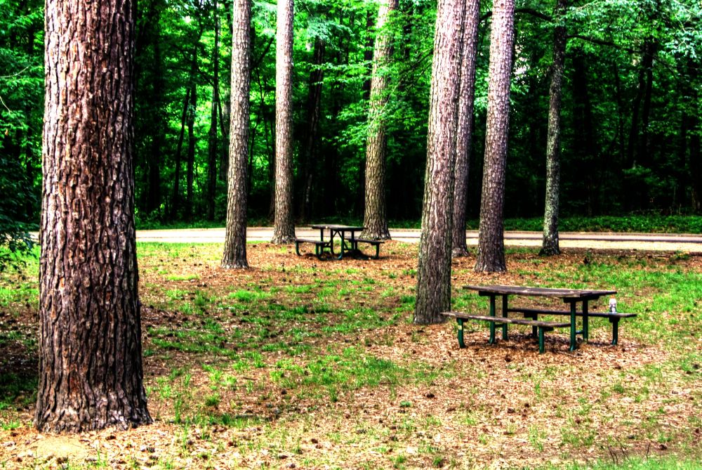
| Picnic Area |
|
Click 'Arrow' Above To Go To Next South Bound Stop |
Brashears Stand / Old Trace Site
Mile Post 104.5 |
Click 'Arrow' Above To Go To Next North Bound Stop |

|
|
Copyright © 2023-2026 Larry G Banks All Rights Reserved |